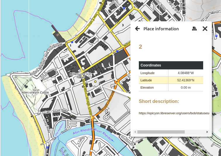
For a while it has been possible to associate geolocations with posts in Epicyon. You can paste a map link into the location field when creating a new post, or just paste it into the message text. The obvious extension to this is to collate that information under hashtags, so that you can view multiple geolocations from multiple posts on a single map, with the hashtag providing some semantic indication of what those locations mean.
Geospatial hashtags have now been added, so if a hashtag has geolocations associated with it then on the search screen it will appear with a pushpin icon next to it. If you view the posts for a hashtag then if there are geolocations within the posts you will see some additional buttons for different time periods. So for example you could view the geolocations for the previous day or the previous week.
If this all sounds quite abstract, there are real applications for this. You can do things like crowdsourcing the best restaurants in town, or the locations of damage after a storm or sightings of particular bird species on a particular day.
The format being used for map geolocations is currently KML, but also GPX can be used as an alternative using the command option --mapFormat. On mobile a KML file can be opened within the OpenStreetMap app, or with Marble on a desktop. Using these formats means that minimal code is needed within Epicyon and that no javascript is required.
As far as I know, geospatial hashtags are a novel feature within a social network system. I don't think Twitter does this, or at least if it does then not by default.